Car‑Free Skyline Loops across the White Peak

Step into a day of public transport‑linked circular hikes reaching White Peak skylines, where trains and buses deliver you straight to limestone ridges, airy plateaus, and dazzling dale views. We share timing tips, flexible loops, cafe stops, and safety guidance so you can travel light, tread kindly, and return smiling without worrying about car keys or parking meters.

Plan the Journey that Moves with the Hills

Begin with gateways like Buxton, Matlock, Cromford, or Ashbourne, then stitch rail and bus connections into loops that rise to wide skylines and fold back to your original stop. Aim for generous buffers, daylight to spare, and simple contingency options so detours feel adventurous, not stressful, even when clouds drift, winds freshen, or your stride lingers longer than expected.

Choose a Gateway that Opens Options

Rail lines to Buxton and Matlock place you close to classic limestone country, while buses radiate toward Bakewell, Ilam, Hartington, and Great Longstone. Favor hubs with frequent services and multiple return choices, giving your loop the freedom to breathe if weather, pace, or curiosity reshapes your day beyond the first sketched plan.

Decode Timetables without Losing Magic

Note last departures early, then prioritize a route that circles back near several stops rather than only one. Carry offline schedules or screenshots, watch for weekend variations, and allow thirty spare minutes at journey’s end. That practical cushion turns a beautiful skyline ramble into a relaxed adventure where timing supports wonder instead of rushing it.

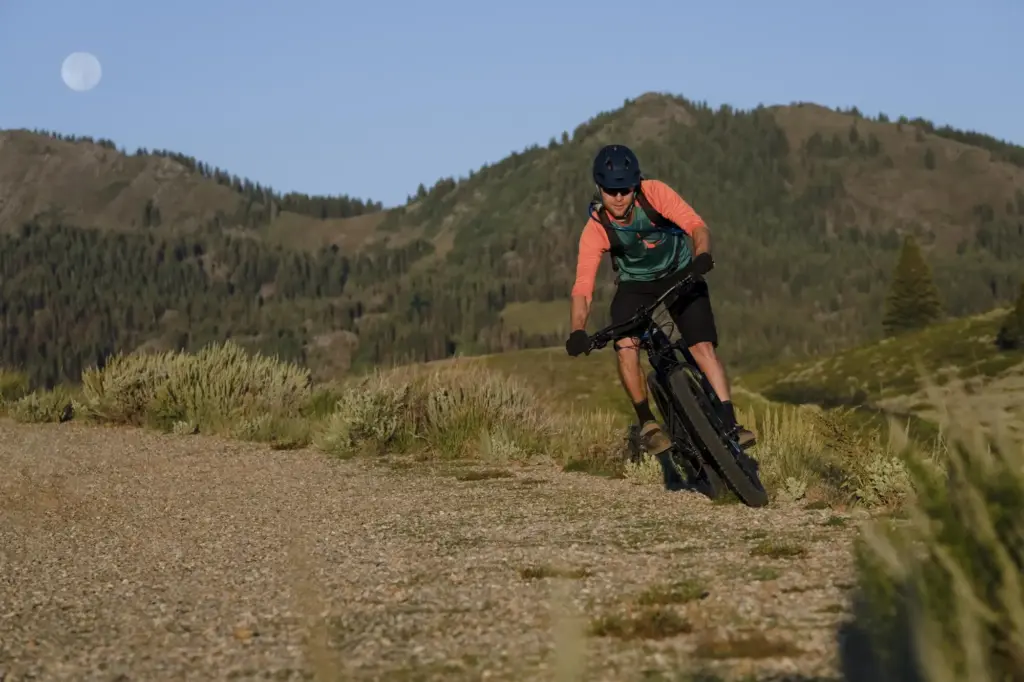
Thorpe Cloud and Bunster Hill: A Dovedale Skyline Loop

Arrivals, Starts, and Gentle First Steps

Alight near Thorpe or Ilam and enjoy an unhurried approach along lanes edged with stone walls and hedgerow birdsong. The stepping stones often sparkle with company; plan extra minutes for crossings and photos. If the river runs high, use the bridge alternative and keep your circular logic intact, returning later by field edges and soft verges.

Ridge Moments that Linger Longer

Thorpe Cloud rewards a steady ascent with painterly views of the Dove, Bunster’s back, and the valley’s green geometry. Wind can carry strong here, so layer early, sip water on the lee side, and savor a long pause. Following Bunster Hill’s skyline, you trace flowing lines that feel drawn by centuries of weather, pasture, and limestone patience.

Return Paths, Cakes, and Kind Footfalls

Loop back by Ilam’s parkland and easy lanes, letting the gradient soften and chatter resume. Reward the miles with a tea room slice or village pub comfort, then pad calmly to the stop with time to spare. Leave only light footprints, lift a hand to drivers, and carry the Dove’s quiet confidence into tomorrow’s planning notes.

Chrome Hill and Parkhouse Hill: Dragon‑Back Drama without a Car

Reach Earl Sterndale or nearby stops via Buxton, then weave a circuit over Parkhouse and Chrome Hill, where limestone ribs serrate the skyline into unforgettable sculpture. The slopes are steep, paths narrow, and footing demanding, yet the circular logic remains elegant: crest, contour, descend, and return by lanes and field paths that protect energy and joints.

Access that Respects Pace and Place

From Buxton’s rail station, short bus hops or brisk link walks place you among field barns and limestone walls within an hour. Gateways vary seasonally; choose permissive lines and marked rights of way, closing gates carefully. A clockwise loop often feels friendlier to knees, keeping scrambles brief and views frequent while local farms continue peaceful routines nearby.

Safety on Steeps and Narrow Spurs

Parkhouse’s steeper ribs ask for deliberate foot placements, dry‑weather prudence, and a willingness to bypass if conditions turn slick. Trekking poles aid balance, and grippy soles earn their keep on angled limestone. Respect exposure thresholds; a summit is optional, but a dignified descent with a smile lasts longer than any hurried, glory‑chasing push upward.

Trail Links that Make Circles Easy

The Monsal Trail’s level surface speeds early progress, freeing time for a longer skyline linger above Longstone Edge. Waymarked paths crown the ridge, then spill into side dales where limestone walls and ash trees compose gentle frames. Return choices remain plentiful, keeping nerves quiet even as clouds experiment with light and the day’s mood shifts kindly.

Views, Geology, and Living History

Longstone Edge showcases the White Peak’s limestone bones, folded and quarried, yet still generous with flowers and skylines. The viaduct below whispers of rail journeys past, now repurposed for walkers and wheels. Read the land as a palimpsest: industry, farming, and recreation layered together, each honoring what endures when travel treads carefully and stories continue.

Food, Buses, and a Gentle Farewell

Close your loop with a cafe pause near Monsal Head or a bakery treat in Bakewell, then stroll unhurried to the bus stop. Keep an eye on late‑day services, but savor minutes for photos. The return ride becomes a last viewpoint, stitching fields, walls, and glinting water into a soft, satisfied coda that feels wonderfully earned.

Skills for Confident Limestone Skylines

Car‑free exploration sharpens judgment: knowing when to adapt, how to read weather, and where rights of way thread between walls and herds. Equip light but wisely, carry warmth, guard daylight, and favor compassion for land and livestock. These small disciplines turn circular ideas into skylined realities that greet buses and trains with relaxed, contented walkers.

A Sunrise over High Wheeldon

We set out from Buxton before crowds, catching a first bus that stitched dawn into our timetable. High Wheeldon rose gentle, then brightened with sun like a quiet orchestra tuning. The loop closed by field paths, leaving us early at the stop, pockets warm with bakery crumbs and a pocket map folded neatly and happily.

Kindness on a Windy Afternoon

On Longstone Edge, gusts snagged our hats and confidence, until a couple offered spare gloves and a wiser descent line. We returned by sheltered dales, stopping to trace lichens on a gatepost. That unplanned kindness became the circuit’s heart, proof that skyline days can be held together by people as much as paths and stone.
Zentomorivirozavo
Privacy Overview

This website uses cookies so that we can provide you with the best user experience possible. Cookie information is stored in your browser and performs functions such as recognising you when you return to our website and helping our team to understand which sections of the website you find most interesting and useful.